

The first printed map ever bound into a Bible was a mistake that could not be recalled. Produced in 1525, it flipped the Holy Land left to right, turning the geography of scripture into a mirror image. Yet that blunder did not bury the project; it helped fix a new way of seeing sacred space and political borders that still echoes in modern atlases and study Bibles.
What began as a technical failure in an early Lutheran workshop became one of history’s most influential cartographic experiments. By inviting ordinary readers to picture biblical lands on a page, the reversed image encouraged people to imagine territory, distance and frontiers in ways that would later shape how they thought about nations themselves.
The flawed birth of the first Bible map
The 1525 map emerged from the world of Reformation printing, where images were tools for teaching as much as decoration. In that environment, a workshop associated with Lucas Cranach the Elder attempted something unprecedented: inserting a detailed map of the Holy Land directly into a printed Bible so that geography sat alongside the text. The result was a pioneering visual guide that, because of a plate prepared in reverse, accidentally presented the biblical world backwards.
Scholars now describe this first Bible map as both a technical misfire and a publishing breakthrough. One Cambridge account calls it “simultaneously one of publishing’s greatest failures and triumphs,” a judgment that captures how the reversed image undermined accuracy while still transforming how readers engaged with scripture. The project, preserved in a Cambridge-held map, shows how printers were willing to risk error in order to give laypeople a visual foothold in a text that was rapidly moving into the vernacular.
How a backwards image still guided readers
Even flipped, the 1525 map gave readers something they had never had before: a consistent visual frame for the journeys, battles and parables they heard in church. Rivers, cities and regions might be mirrored, but their relative positions were fixed on the page, letting people trace stories with their fingers and connect distant episodes into a single landscape. That act of following routes and borders on paper mattered more than strict directional accuracy for many early users.
Modern researchers argue that this is why the mistake did not doom the experiment. The map’s power lay in its invitation to imagine the Bible as happening in real, mappable space, not in its fidelity to compass points. As later printers copied and adapted the design, they preserved its basic layout even when they corrected its orientation, turning the flawed original into a template for how biblical geography should look. One analysis of this Notorious Bible Map From 1525 notes that it “Was Accidentally Backwards” yet “It Changed the World Anyway,” precisely because it taught generations of readers to think of scripture in terms of territories and frontiers.
From sacred landscape to political borders
Once believers could see the Holy Land as a bounded territory, it became easier to transfer that way of thinking to their own surroundings. The same visual habits that helped a reader locate Jericho or Galilee on the page encouraged them to picture their own region as a defined block of land with edges and neighbors. Historians of religion and cartography argue that this shift in imagination helped prepare the ground for later ideas about nation-states, where political communities are understood as enclosed spaces with clear lines around them.
According to Nathan MacDonald, identified as “Professor of the” Old Testament in Cambridge reporting, the 1525 experiment marked a moment when people “started to think about borders” in new ways. In his view, Lucas Cranach the Elder’s map did more than illustrate scripture; it nudged readers toward a mental model in which sacred history unfolded inside shapes that looked a lot like modern countries. That argument is developed in detail in a focused discussion of how Lucas Cranach the Elder’s map encouraged people to picture the biblical world as a set of enclosed regions, a habit that later political cartographers would adapt for secular maps.
A 500-year-old misprint that still shapes Bibles
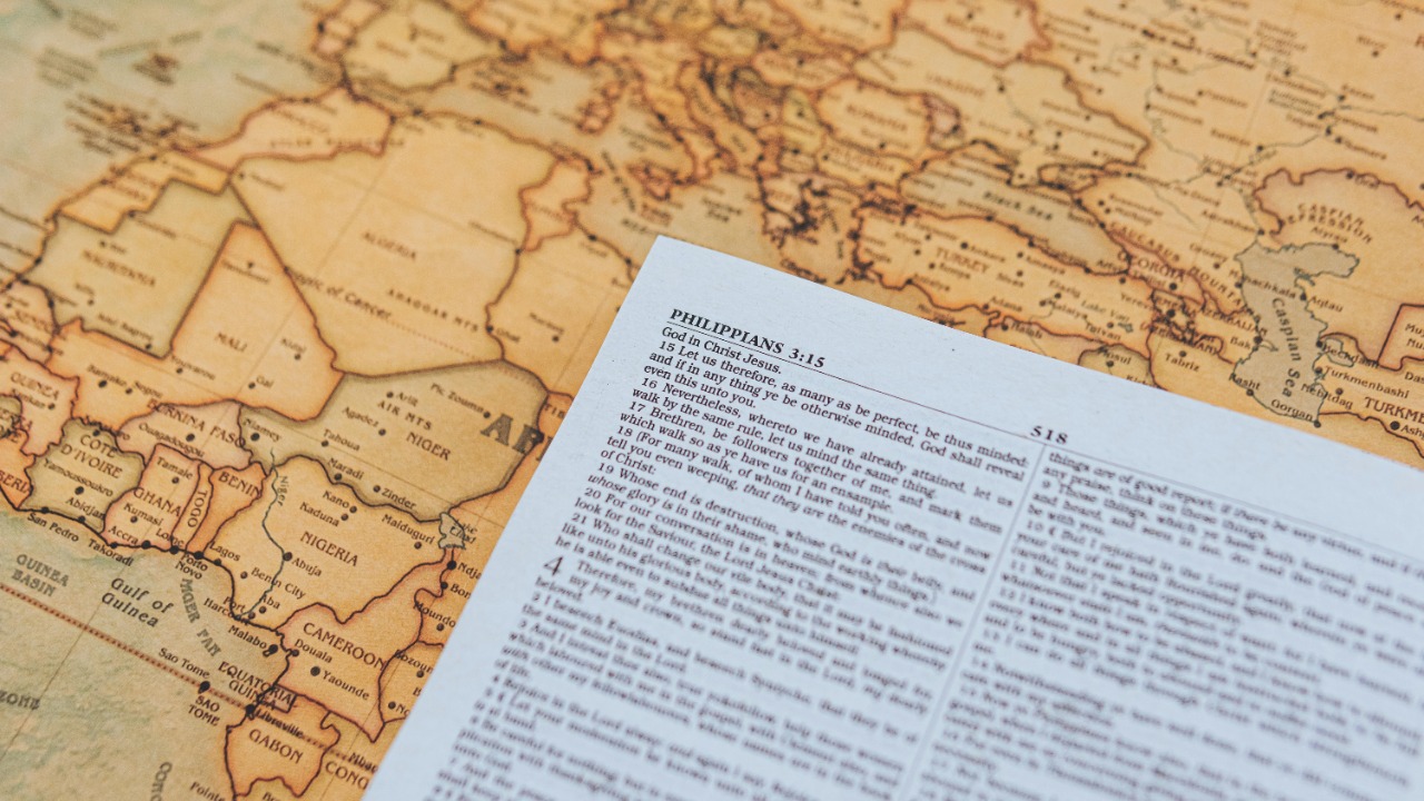
Half a millennium later, the influence of that first reversed plate is still visible. Most modern study Bibles now include maps at the back, often showing the same key routes and regions that appeared in the 1525 design. Even when the orientation is corrected and the artwork updated, the basic idea that a Bible should come with cartographic aids has become standard, a quiet legacy of the original experiment.
Researchers at St John’s College in Cambridge emphasize that the Cambridge-held map, published about 500 years ago, helped establish the expectation that scripture would be accompanied by visual guides. Their analysis of the first 1525 Bible map notes that “today most Bibles contain maps,” a direct line from that flawed woodcut to the color inserts in contemporary editions. The persistence of this convention shows how a single publishing gamble can normalize an entire genre of visual support for readers.
Why influential mistakes still matter
The story of the 1525 map is a reminder that errors can be historically productive. The backwards plate did not simply mislead readers; it forced printers, theologians and later cartographers to confront what they wanted a biblical map to do. Was it meant to be a precise geographic record, a devotional aid, or a teaching tool for new Protestants learning to read scripture on their own? In wrestling with those questions, later publishers refined both the artwork and the underlying assumptions about how faith, space and politics intersect.
Contemporary commentators have described the 1525 sheet as a “500-year-old” artifact that became “one of history’s most influential mistakes,” a phrase that captures how its impact far exceeded its technical quality. One detailed account of this 500-year-old Bible map notes that a “BACKWARDS MAP THAT REMADE” expectations for printed scripture helped ensure that similar images “appear in most modern editions,” even as the original orientation was corrected. That trajectory, from flawed prototype to enduring standard, shows how publishing missteps can reshape not only how people read a text but how they imagine the world that text describes.